Maps, Plans, and Drawings
Search the Archives' collection of architectural drawings, fire insurance plans, historical maps and surveys through the portals below.
Fire insurance plans are city, town, and village maps created for insurance companies. The maps are designed to provide detailed information on the physical characteristics of buildings in a settlement including the composition of the structures (both internally and externally), building heights, property lines, watermain and fire hydrant locations, street names and numbers, and information on the occupancy of the building.
The Archives' digitized collection of fire insurance plans includes:
- The Town of Ingersoll - 1913-1932
- The City of Woodstock - 1913-1949
- Norwich - 1928
- Otterville - 1897
- Plattsville - 1894
- Tavistock - 1926
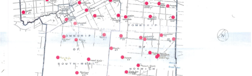
The digitized map collection at the Oxford County Archives includes maps from 1830 up to 2009 covering the townships of Dereham, North Oxford, East Oxford, West Oxford, East Zorra, West Zorra, and Norwich, along with the Town of Tillsonburg, the City of Woodstock, and the Oxford County region. The types of maps include but are not limited to:
- Atlases
- School Sections
- Surveyor's Plans
- Rail Line Plans
- Subdivision Plans
- Topographical
- Waterworks and Waterways
For more information or for access to the originals, please contact Archives staff.
Architectural Drawings |
Fire Insurance Maps |
Maps and Surveys |